Anywhere from 100’-300’ feet tall, Woodfin Falls might be one of the tallest and most isolated waterfalls in North Carolina. Barely visible from the distant Mount Lynn Lowry Overlook, you can actually stop and view the very top of this waterfall up close at the Woodfin Cascades Overlook on Milepost 446 of the Blue Ridge Parkway. From the waterfall, hikers may also access the 1,200 mile Mountains-To-Sea Trail and take a short day hike north to the Waterrock Knob Visitors Center. With access to its precipice and lower falls prohibited, the cascades offer a rare glimpse into this beast of a waterfall that most people have never even heard of.
Woodfin Cascades Overlook | Milepost 446
Woodfin Cascades Overlook Location | Google Maps
Blue Ridge Parkway Map | North Carolina
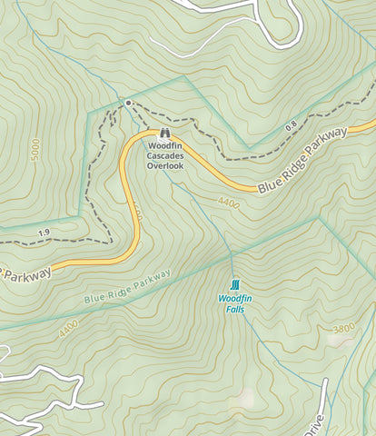
Woodfin Cascades Overlook and Falls on the Gaia App.
Getting There
From Cherokee, head north on US-19 and get on the Blue Ridge Parkway toward Waynesville/Asheville. Drive roughly 9 miles to the Woodfin Cascades Overlook on milepost 446. Once you pass the Waterrock Knob Visitors Center you’ll be halfway there. The parking lot will be on your RIGHT with the waterfall directly across the street on your LEFT. Few people know about Woodfin Falls or the cascades so chances are you won’t find any trouble getting a parking spot.
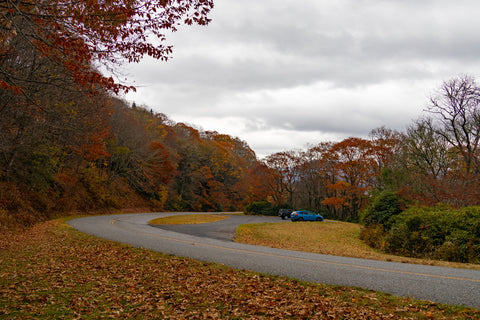
Parking area for the Woodfin Cascades Overlook on the Blue Ridge Parkway in North Carolina.
Woodfin Cascades Overlook (milepost 446)
I am always on the lookout for little known trails and waterfalls to explore, so while carving out an outing to see nearby Mingo Falls, I decided to take a short side trip to see this landmark. The upside to this stop is that there is basically zero hiking involved since it is a roadside landmark. From the parking lot walk across the street and you should be able to get a nice upfront view of the 20’ ft tall cascades from the road. Directly next to the falls is an official connector trail to the Mountains-To-Sea Trail that visitors can shuffle down the side of to get to the base of where Woodfin Cascades streams under the Blue Ridge Parkway.
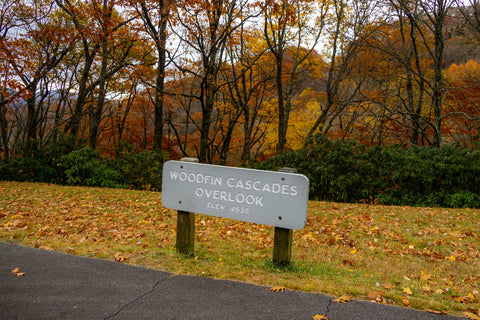
This small pull-off is one of dozens of little known landmarks along the Blue Ridge Parkway with fascinating history’s.
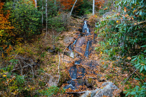
No hiking to see this beauty as it is right on the road. At 100-300 ft tall this is one of the tallest waterfalls in the state, but most of it is on private property.
On this particular visit the waterfall was looking pretty thirsty and the flow was minimal. Come pay it a visit after a heavy rain and it puts on a monster of a show from what I’ve seen online. There are a few blog posts out there with hikers venturing up the Mountains-To-Sea Trail and using a manmade trail to reach the precipice of Woodfin Falls, but it is a hearty bushwhack straight uphill. Others have ventured to see the base of it below this spot, but again it is almost entirely on private property and difficult to reach. One of the better ways to see it, much like Glassmine Falls, is from a distant vantage point on the Mount Lynn Lowry Overlook of the Blue Ridge Parkway on Milepost 445. Again being so close to sundown, the heavy shadows on the ridge completely obscured our views of the cascades. This is an area I’ll be making a return trip to with a future hike up to Waterrock Knob and what will hopefully be some better photographs of this gem of a waterfalls.
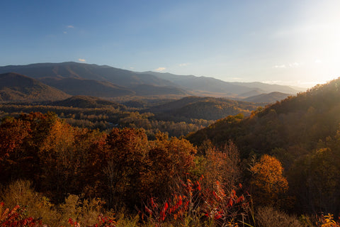
The Mount Lowry Lynn Overlook has the best views of Woodfin Falls 100-300 ft slide. On this visit the shadows were too dark to see the trickle of water.
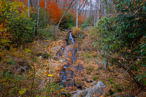
If you’re interested in a hearty bushwhacking to the precipice or base of Woodfin Falls there are several online sources with detailed directions to do so.
Up next, we’re driving 30 minutes south to the southern terminus of the Blue Ridge Parkway in Cherokee, North Carolina to check out another beast of a waterfall. Located just outside of the Great Smoky Mountains National Park, Mingo Falls is in the Qualla Boundary, a land trust of the Eastern Band of Cherokee Indians, which requires no special permits to access to the area. At 120 feet tall, the waterfall is one of the tallest and most spectacular in the southern Appalachians. The hike to the waterfall is only 0.4 miles in length, but is straight uphill. There is a ton of significant history here to explore, so stay tuned to this upcoming article and as always, see y’all on the trails!


0 comments